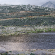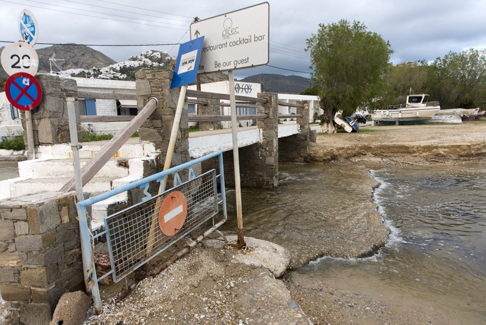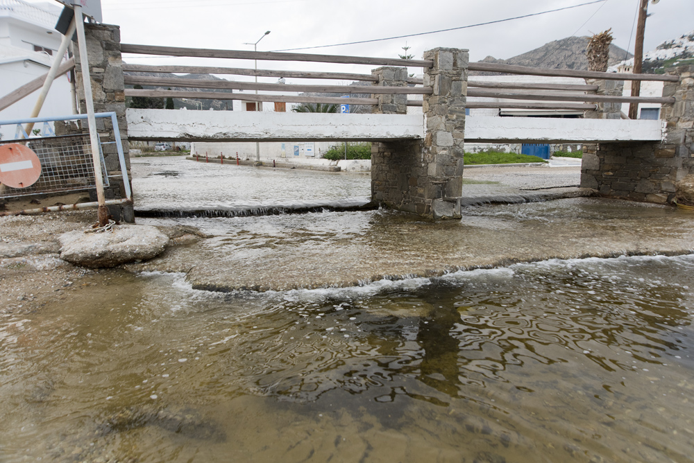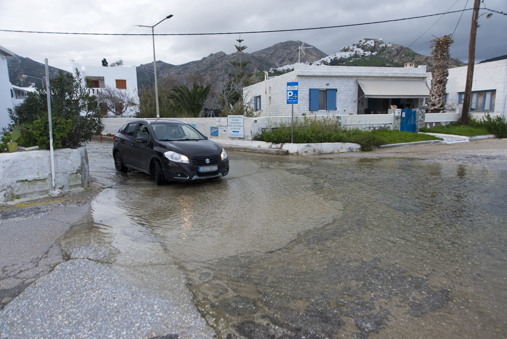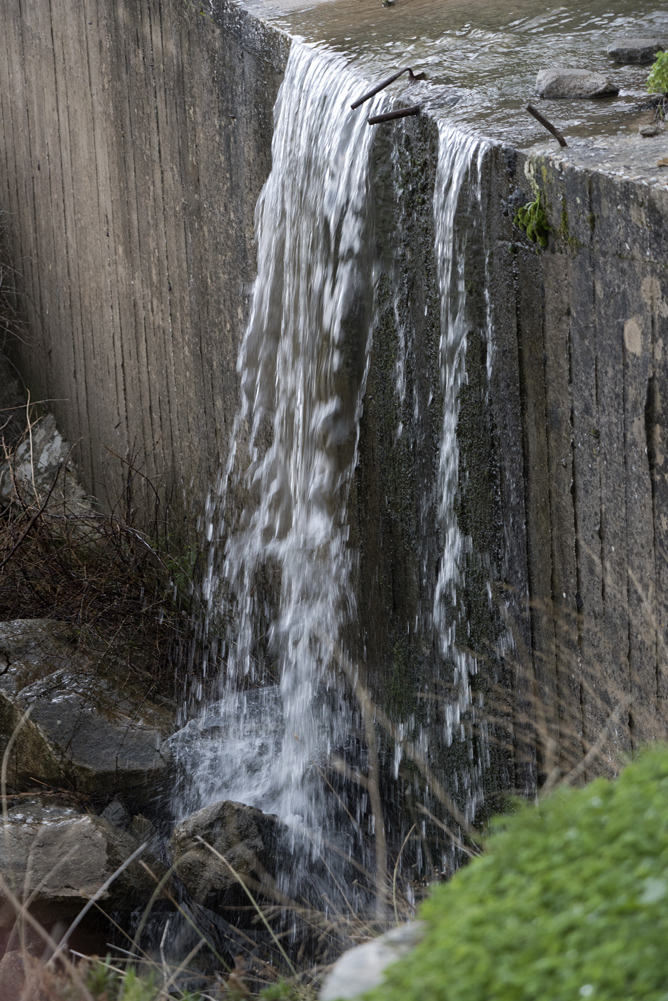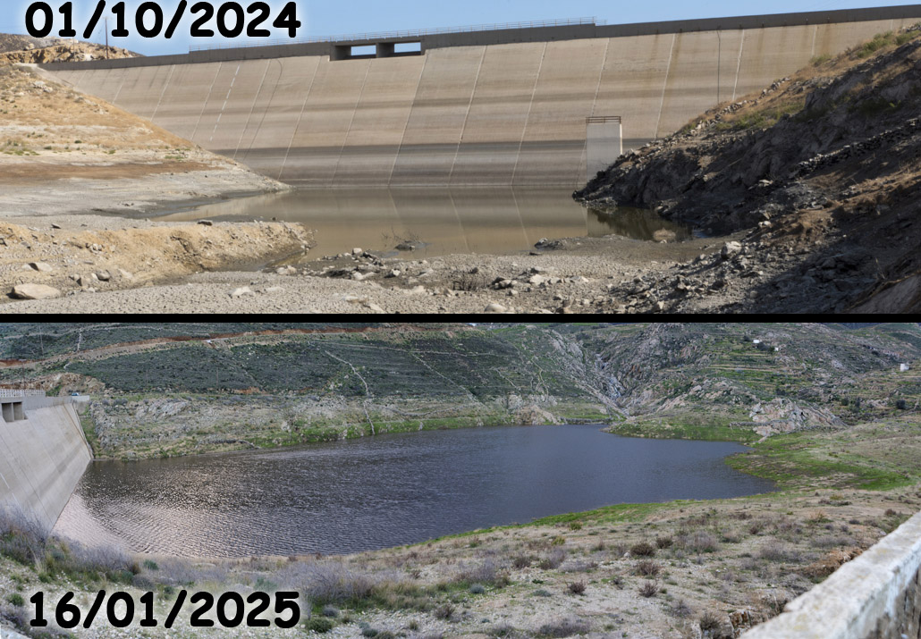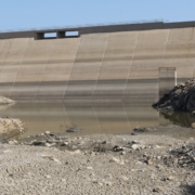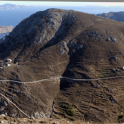
Ο βάλτος Τσιλιπάκι ξεχείλισε μετά τις βροχές από τις 15/12/2024 έως τις 15/01/2025 και έσκαψε ένα φαρδύ και βαθύ χαντάκι που κόβει την παραλία στα 2 / The Tsilipaki marsh overflows after the rains from 15/12/2024 to 15/01/2025 and has dug a wide and deep ditch that cuts the beach in 2.
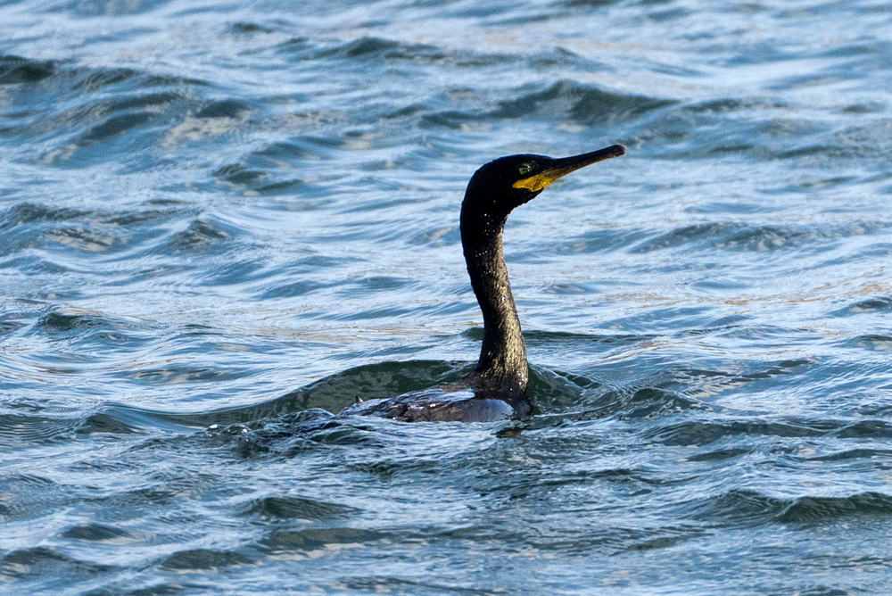
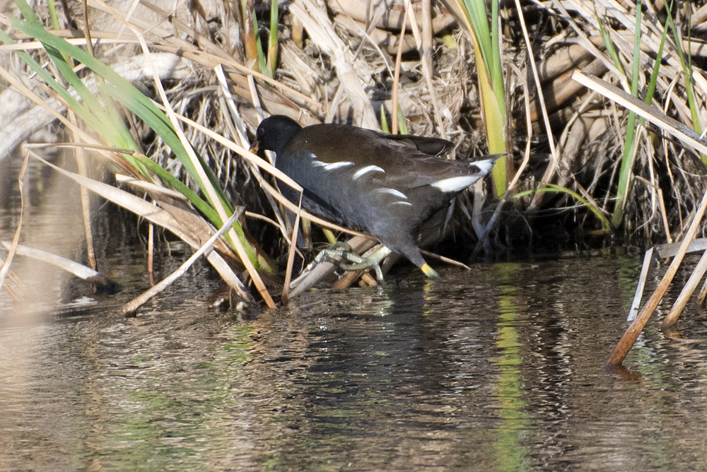
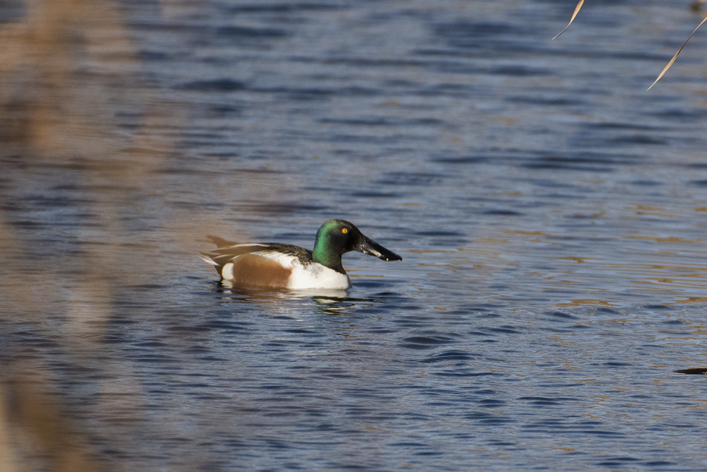
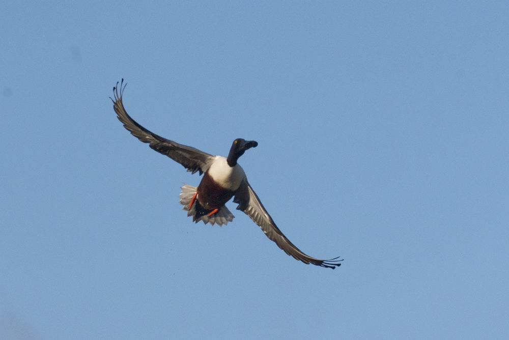
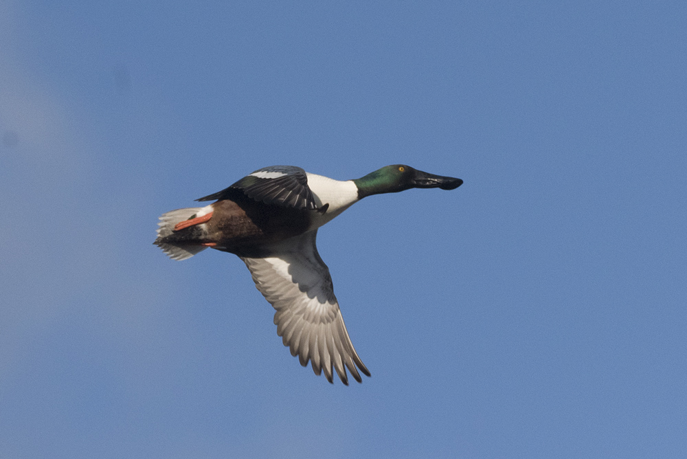
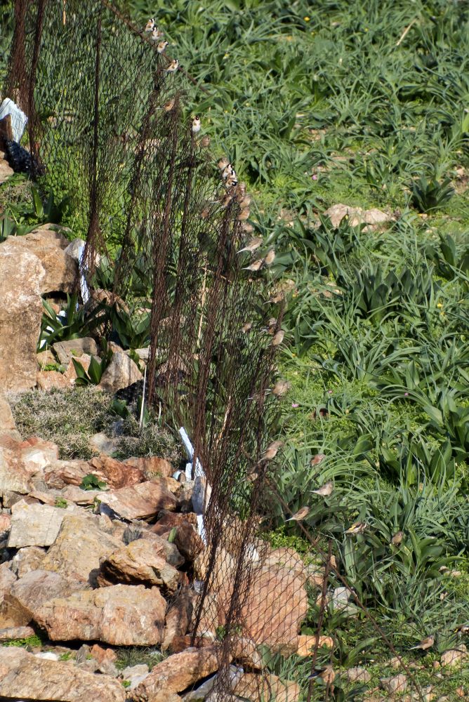
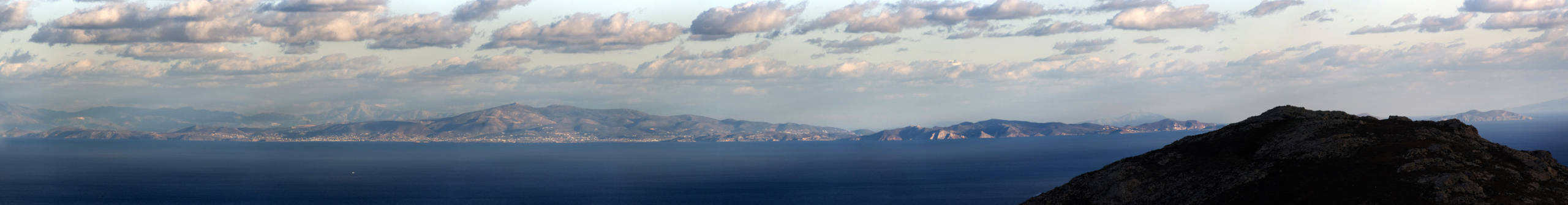
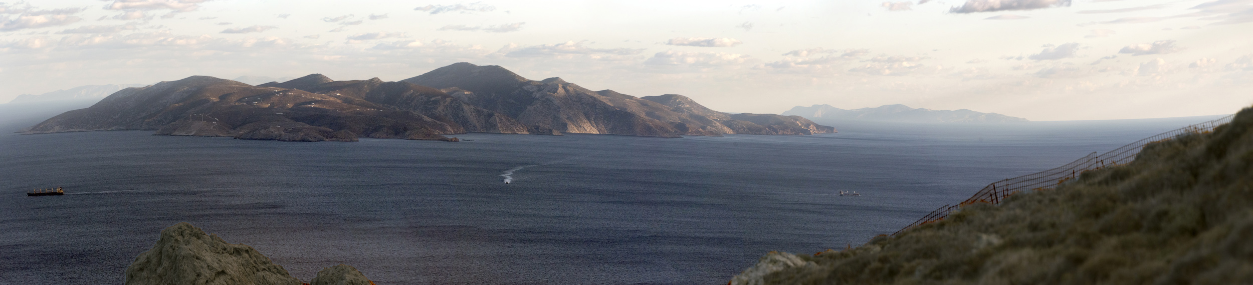
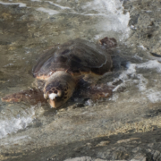
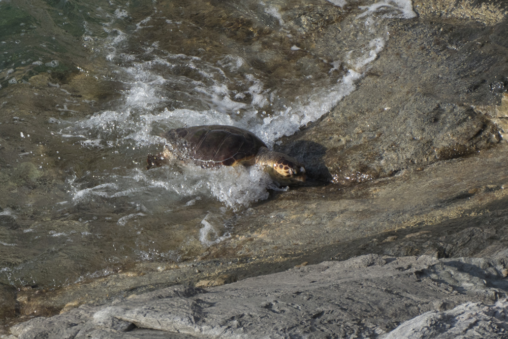
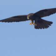
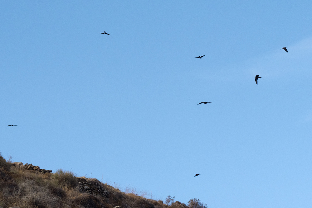
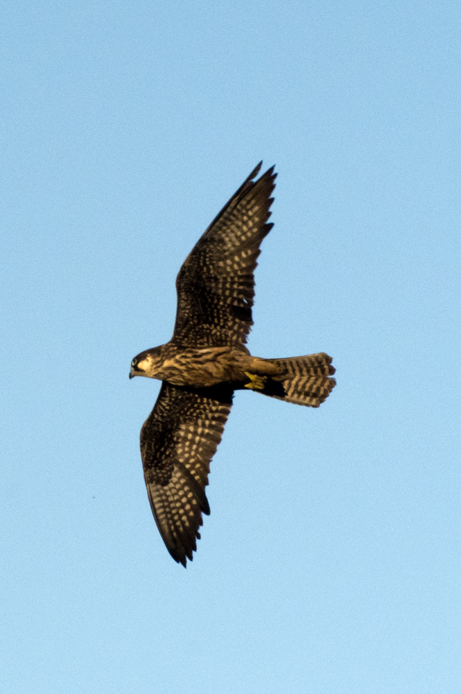
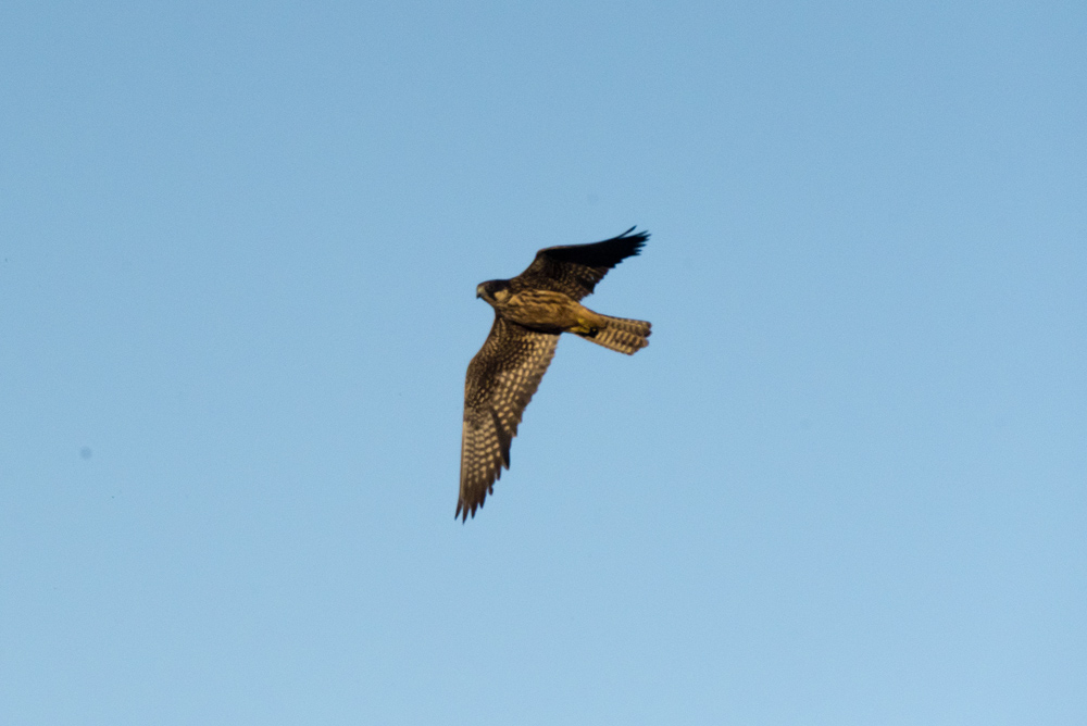
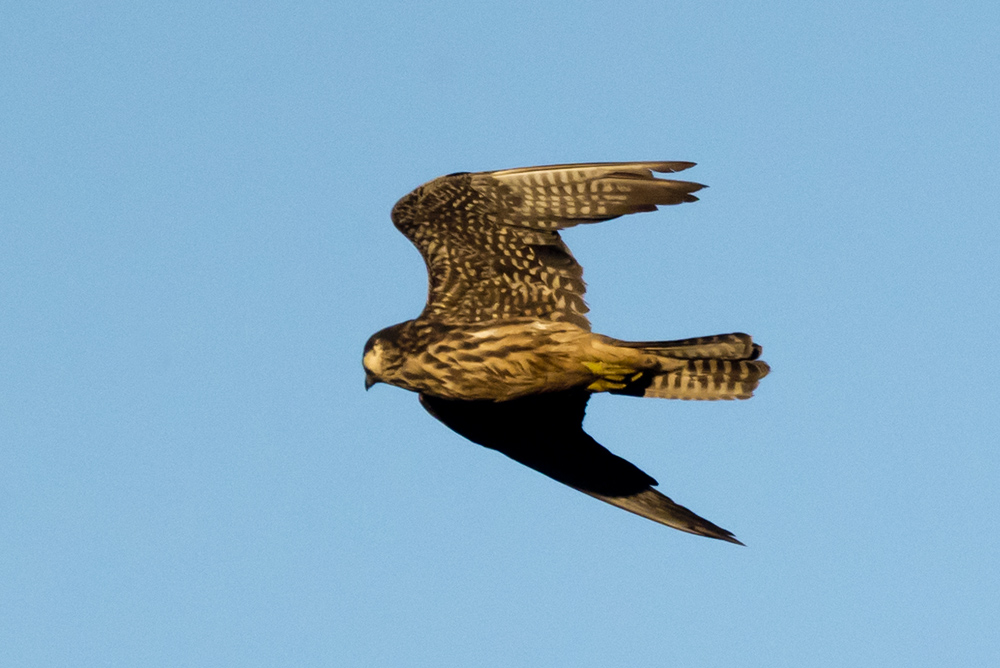
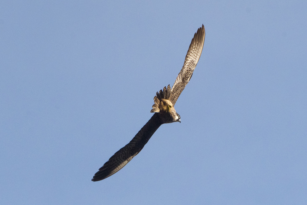
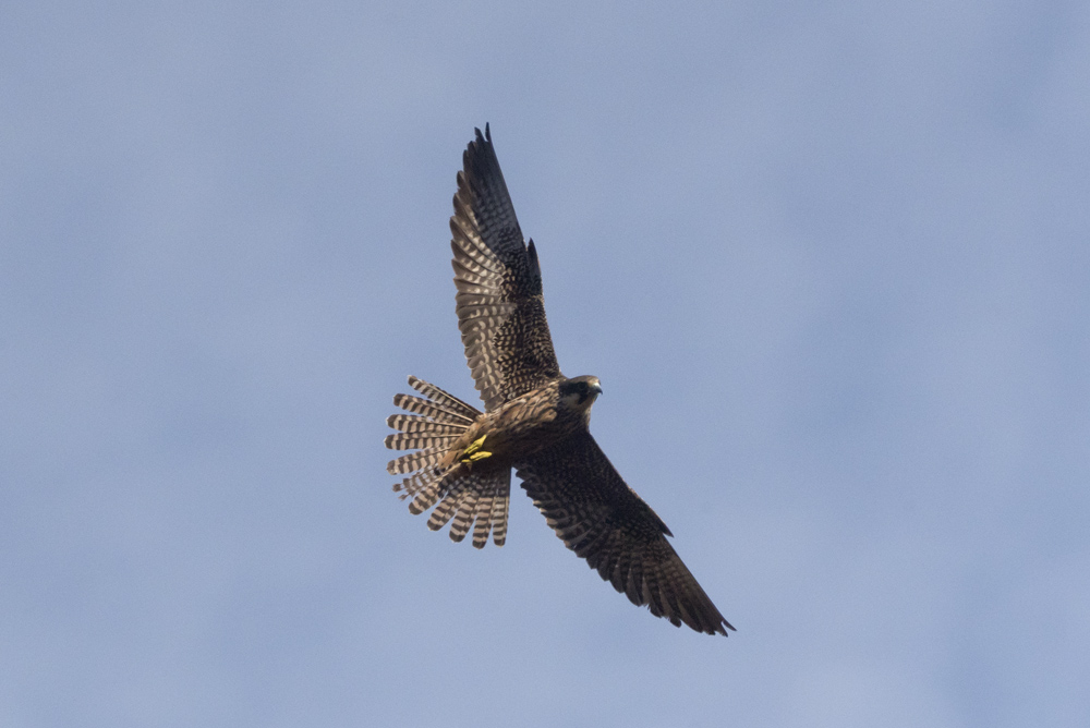
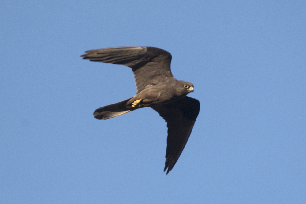
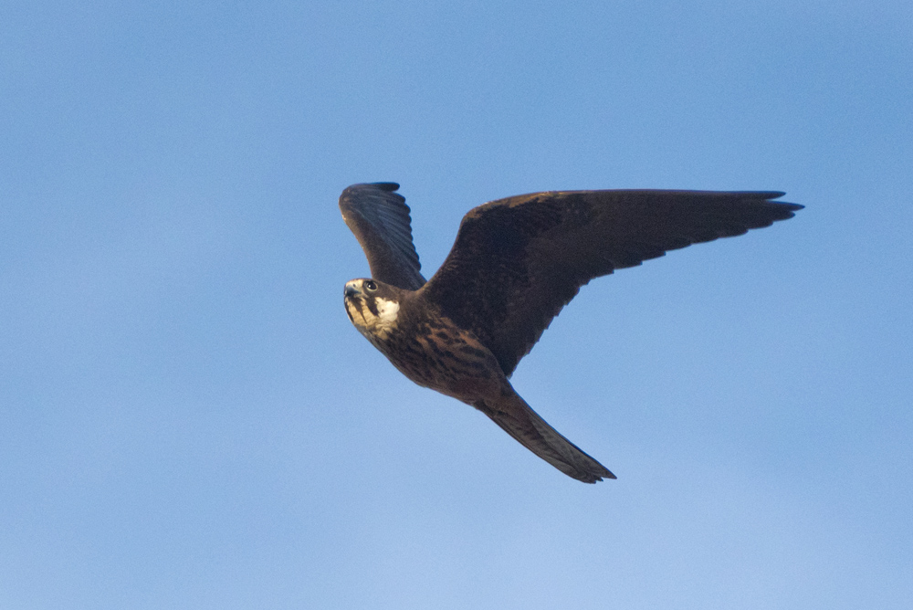
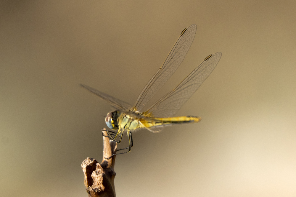
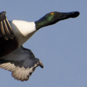
Η γειτονία με τη θάλασσα και αυτά τα άφθονα γλυκά νερά αποτελούν καταφύγιο για τα πουλιά: Θαλασσοκόρακες, νερόκοτες, χουλιαρόπαπιες κ.λπ. Επίσης ένα εντυπωσιακό πέταγμα καρδερινών / The proximity of the sea and these abundant fresh waters are a refuge for birds: european shags, moorhens, shovelers… Also an impressive flight of goldfinches.
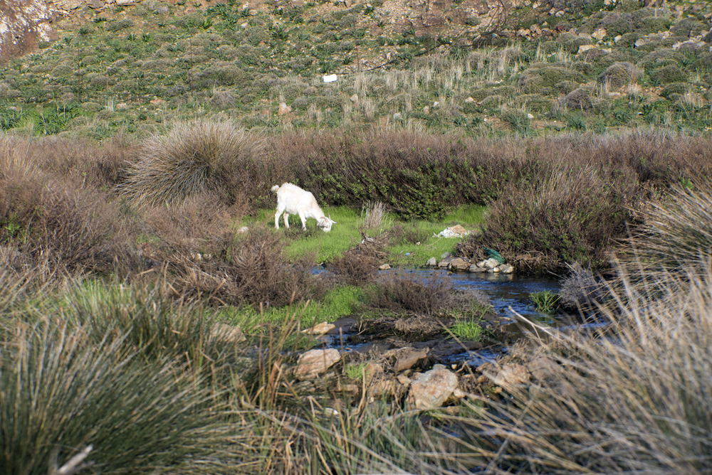
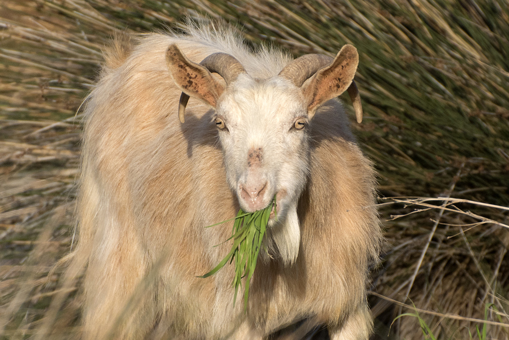
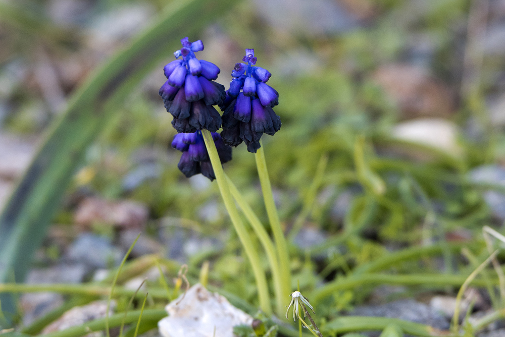
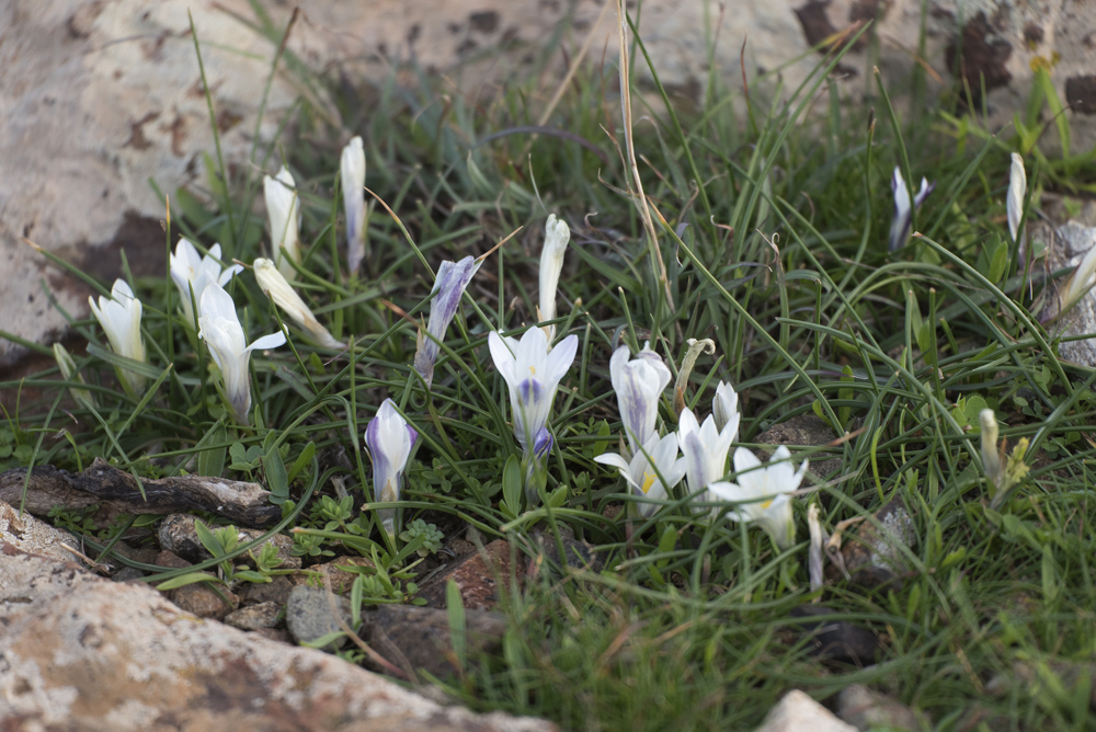
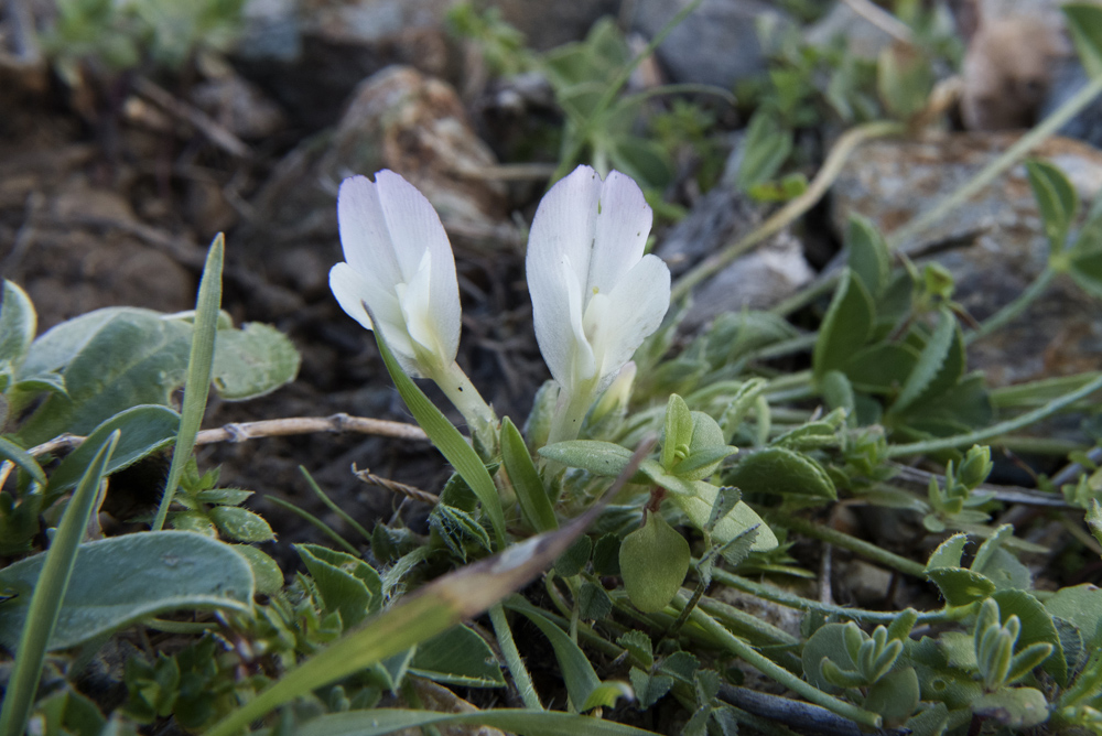
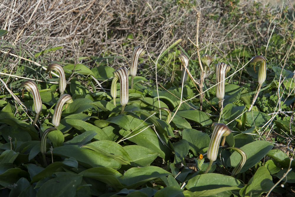
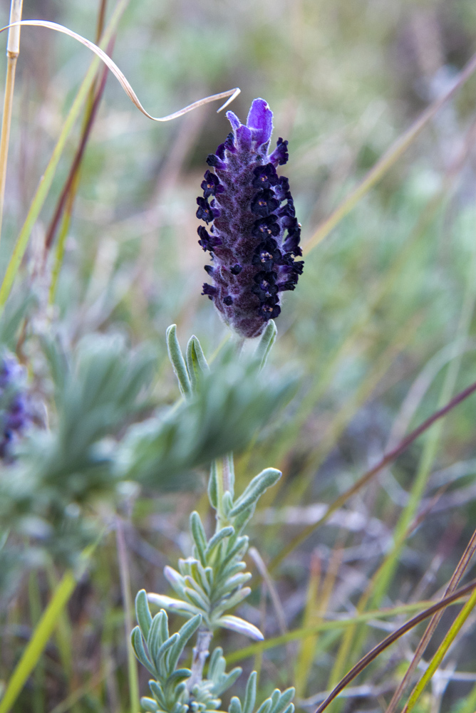
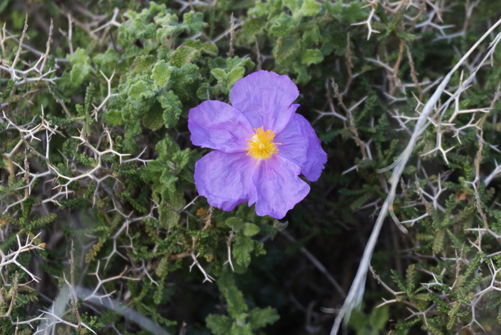
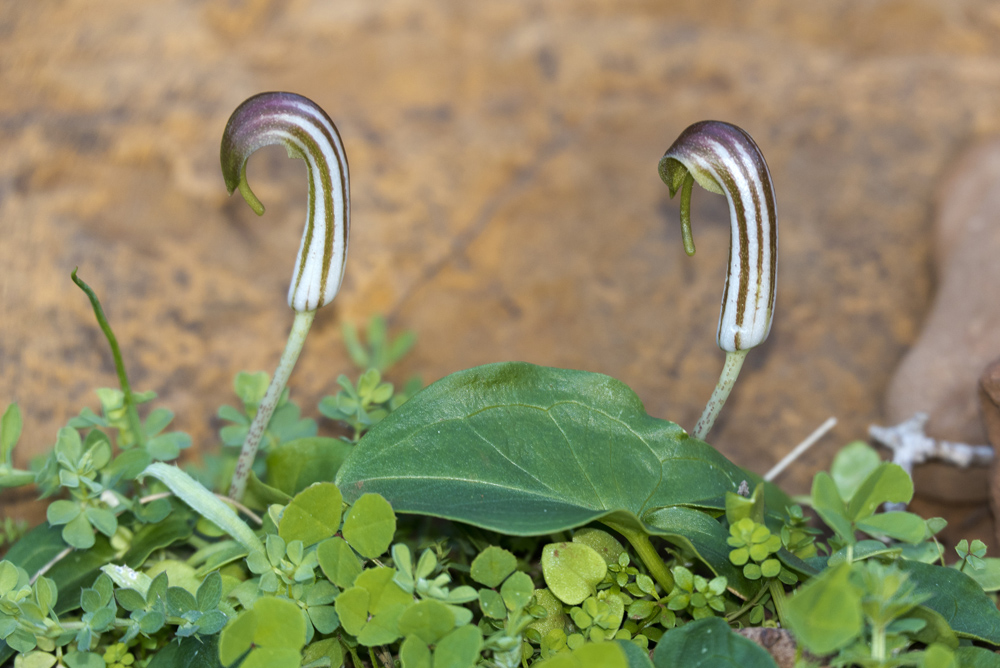
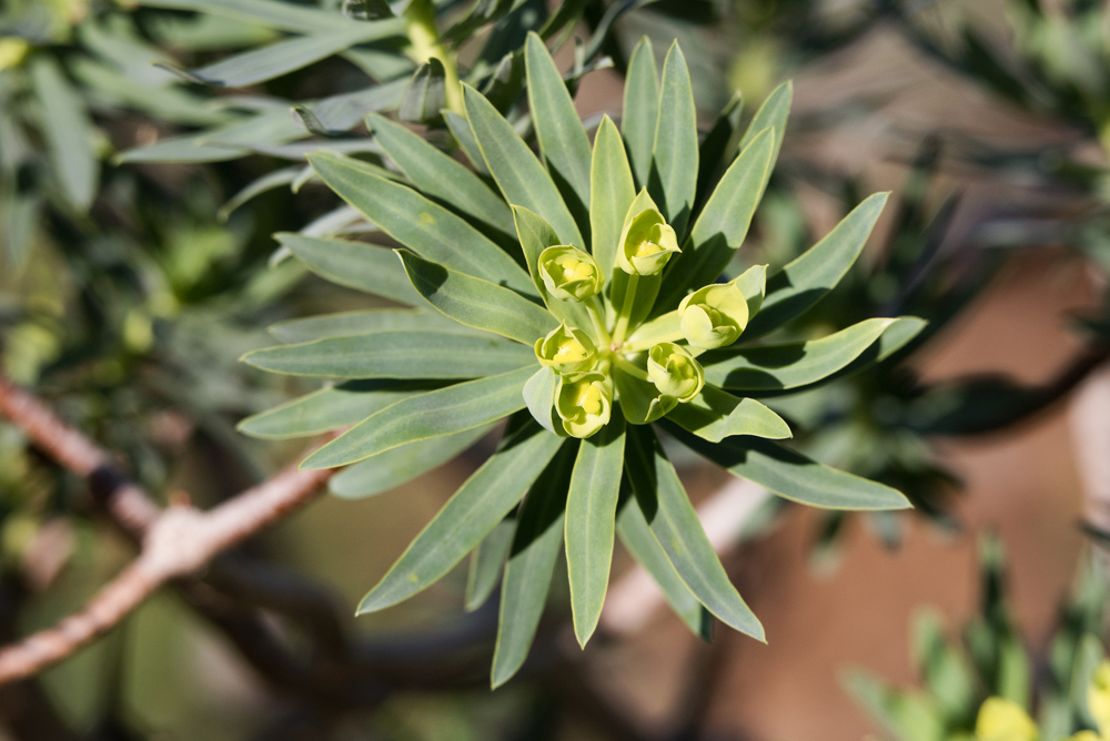
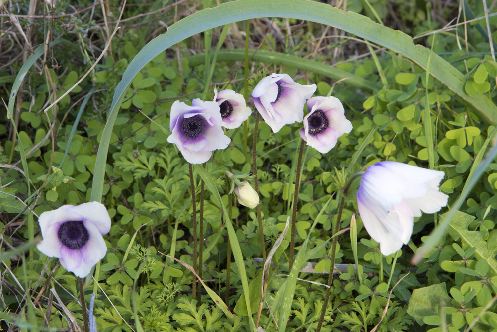
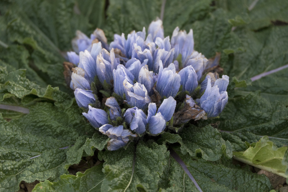
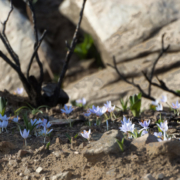
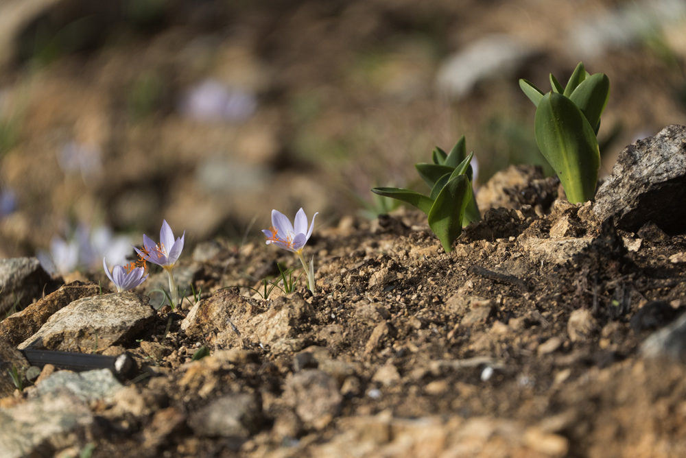
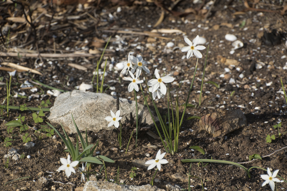
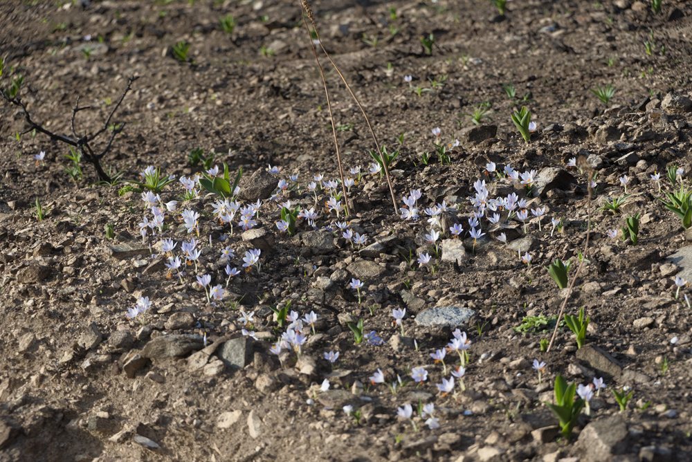
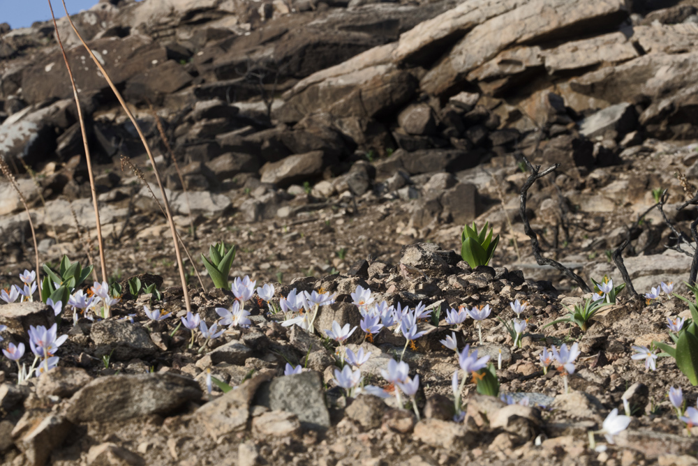
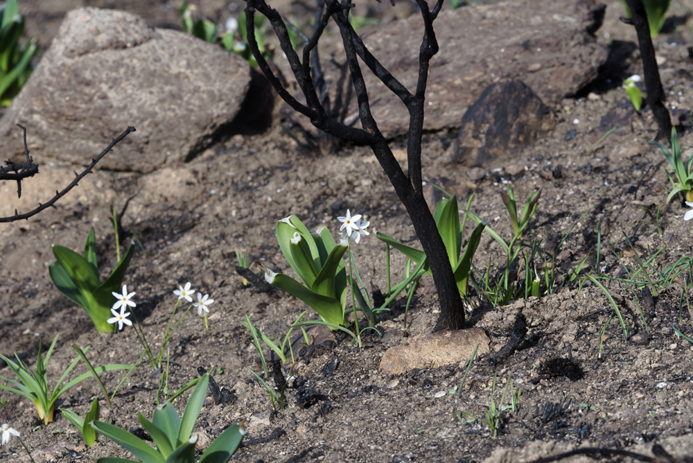
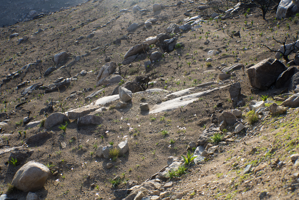
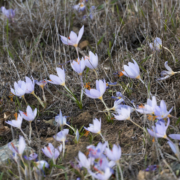
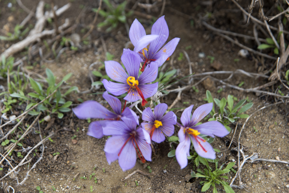
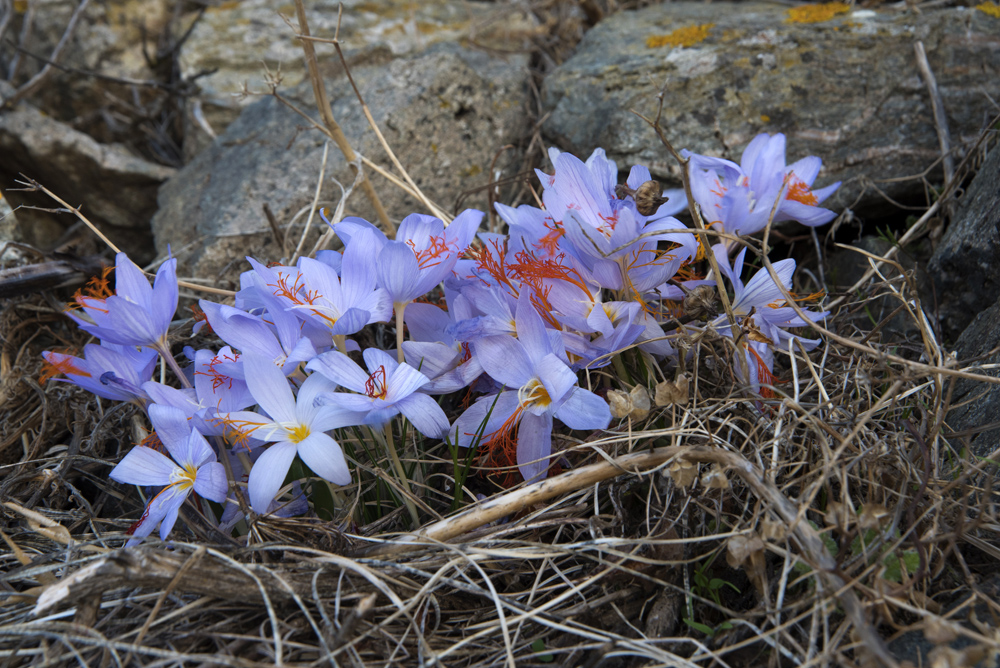
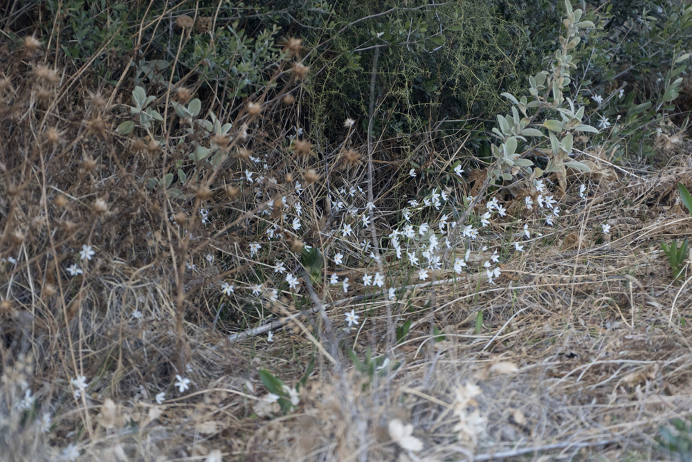
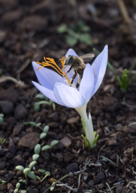
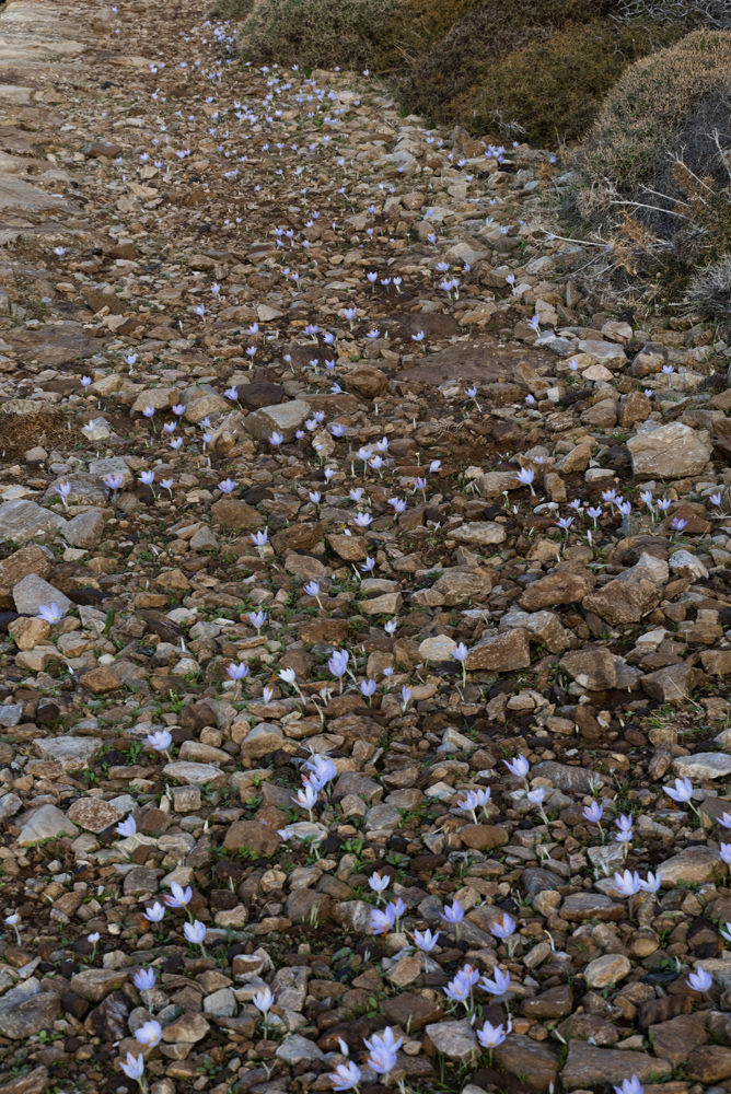
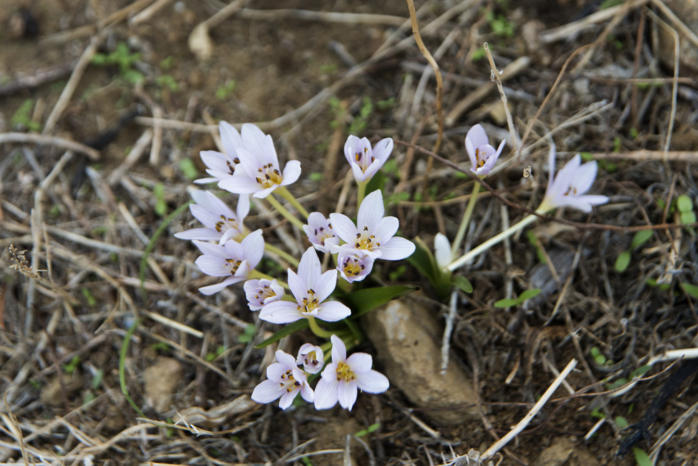
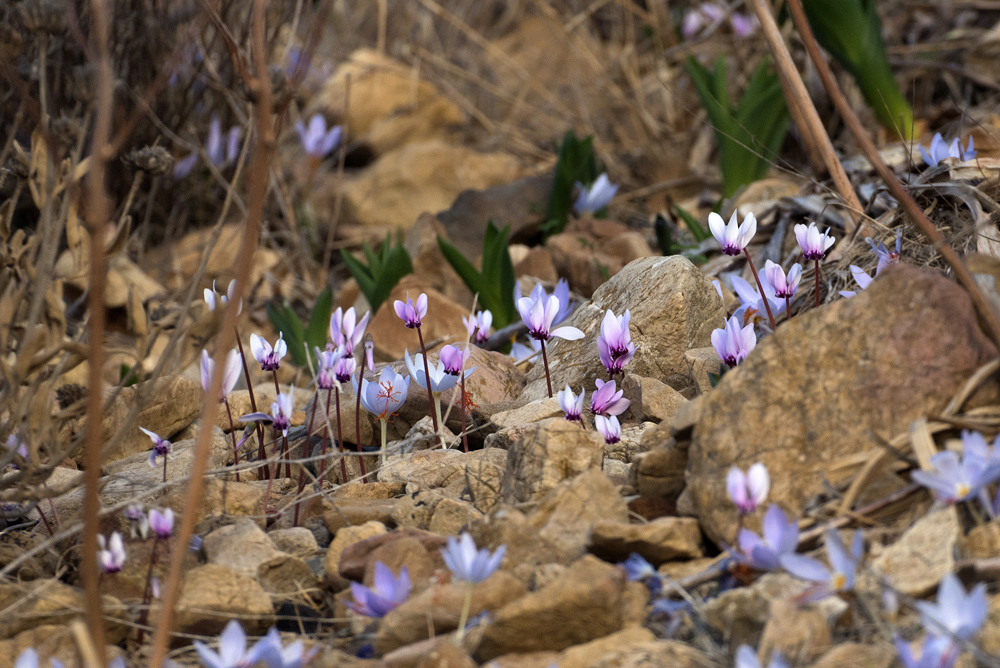
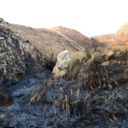
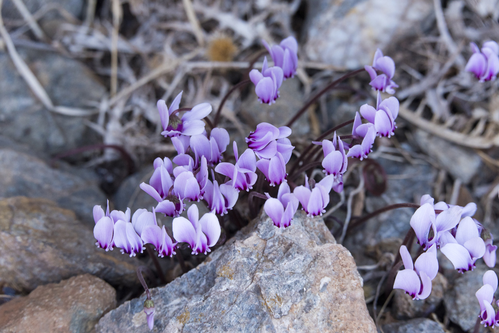
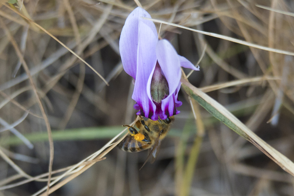
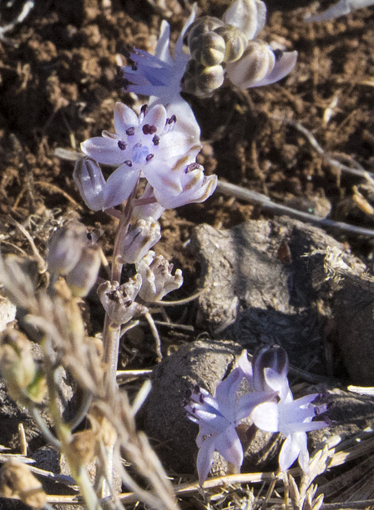
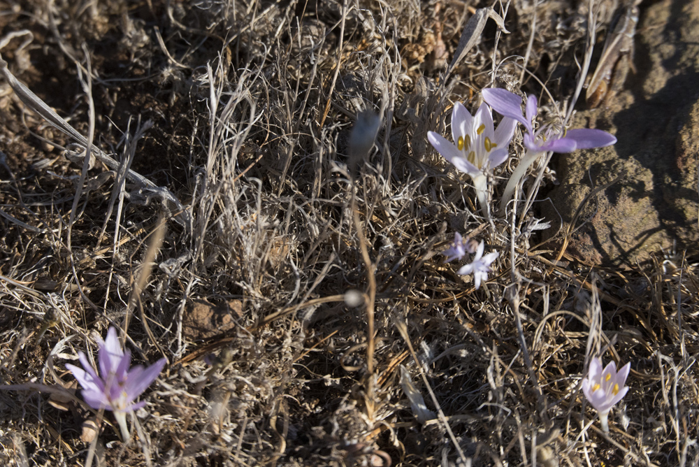
Το νεαρό, πράσινο γρασίδι προσελκύει τα κατσίκια της γειτονιάς. Η βλάστηση ανθίζει γρήγορα, οι σταφυλουάκινθος, ρόμουλα, τριφύλλι το μονανθές, αρίσαρο ακόμα, λεβέντα και μερικές απομονωμένες λαδανιές / The young green grass attracts the goats from the neighborhood. The vegetation blooms quickly, grape hyacinths, romuleas, Trifolium uniflorum, arisarums, leventas and even a few isolated cistus.